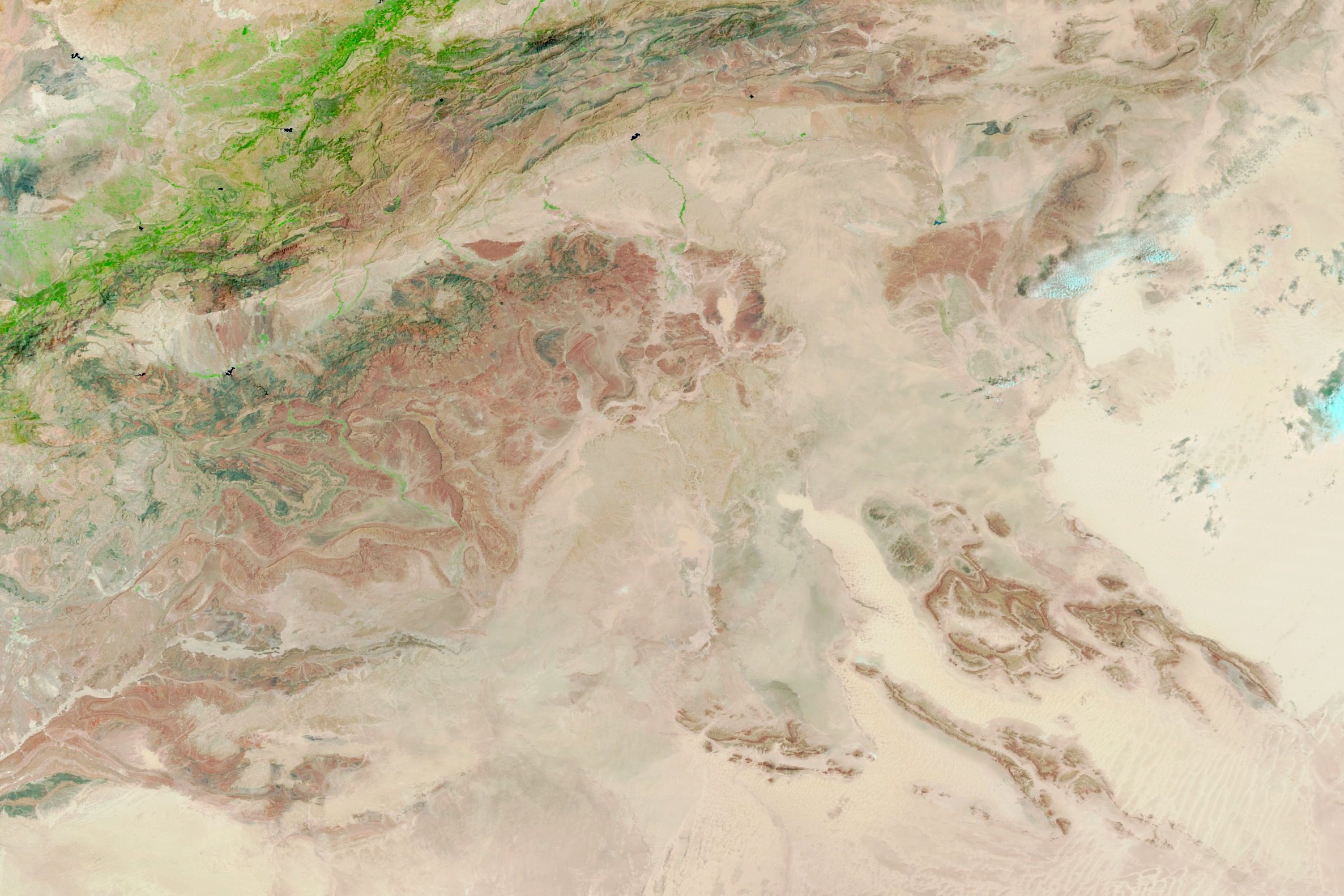
Harness the power of spatial data for enhanced disaster risk reduction and climate resilience
Our GIS and Remote Sensing services deliver detailed spatial insights for disaster risk reduction and climate adaptation. From hazard mapping to resource management, we provide customized spatial analysis solutions to empower your decision-making.
Our Services:
1-Risk Mapping & Vulnerability Analysis: we provide detailed maps of hazard-prone areas.
2-Remote Sensing for Climate Monitoring: We use the satellite data products from different global sources to help monitor environmental changes over time such as deforestation.
3-Tailor-made GIS analysis and reports to meet your specific needs such as flood risk modeling, drought analysis,etc….
How It Works?
Step 1: Consultation — Tell us your requirements.
Step 2: Data Collection & Analysis — We gather relevant spatial data or use your data.
Step 3: Custom Analysis — We perform tailored spatial analysis based on your needs.
Step 4: Delivery — Receive detailed reports, maps, and actionable insights.
